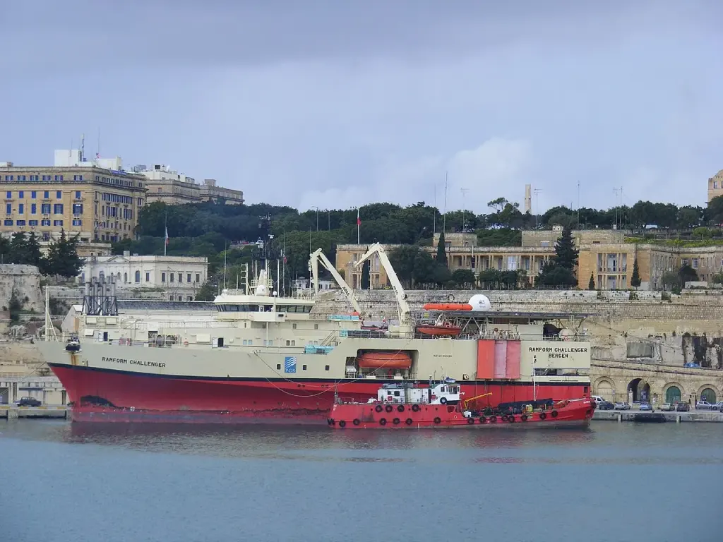
The Norwegian group TGS announced on October 20 the launch, together with the Directorate General of Hydrocarbons and PETROCI, of a reprocessing of 14,691 km² of 3D seismic data covering the deep basins of Côte d’Ivoire and San Pedro. The project aims to make the geological structures likely to contain hydrocarbons off the country’s coast more discernible.
Named MC3D Vision PSDM, the program involves surveys collected by TGS between 2014 and 2018 during several campaigns. It is therefore not a new offshore acquisition, but a computer reprocessing of already available data to produce more precise images of the subsurface.
The first products are expected in the second quarter of 2027, while the delivery of the final results is scheduled for the fourth quarter of the same year. TGS has not disclosed the cost of the project nor detailed the financial terms of its partnership with the Ivorian authorities.
The processing must notably correct for variations in seismic wave velocities in the upper layers of the subsurface, which can obscure deeper targets. The company plans to use preprocessing methods, velocity modeling, and deep imaging to better distinguish potential reservoirs and different geological layers.
TGS believes that this improvement will enable operators to better assess exploration areas and reduce uncertainties before deciding on more costly investments. This assessment comes from the company, while no new discoveries have been announced as part of the project.
The program combines the Directorate General of Hydrocarbons, which oversees the sector for the Ivorian state, and PETROCI, the national oil operations company. Their involvement is intended to integrate reprocessing into the data and priorities of Ivorian offshore exploration.
This operation comes six months after TGS announced another project involving 19,500 km² of 2D data in the deep waters of Ivory Coast. Launched in April with the same public partners, this separate program was intended to provide a broader regional interpretation of the seabed.
The new project focuses on more detailed 3D data, already acquired in the basins of Côte d’Ivoire and San Pedro. It is intended to complement the 2D project without involving, at this stage, the drilling of a well or the production of a field.